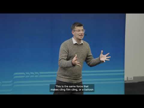
This research develops electrostatic artificial muscles for underwater robots inspired by the movement of fish and sharks. Unlike noisy propeller-driven systems, these soft actuators enable quieter, more efficient swimming that minimises disturbance to marine ecosystems, offering a promising alternative for environmental monitoring, reef surveys, and underwater infrastructure inspection.
This research uses LiDAR and individual tree segmentation to replace traditional polygon-based forest inventories with precise, tree-level data. By modelling the growth and interactions of individual trees, it enables more accurate forest management, improving timber planning, ecosystem resilience, and climate adaptation while supporting sustainable forestry across British Columbia.

This research develops a seawater-compatible electrolyzer that uses state-of-the-art materials with an integrated deionization layer powered by waste heat. The system enables efficient hydrogen production from seawater, supporting portable refueling stations for hydrogen-powered marine UAVs and advancing clean, sustainable energy for offshore operations.

This research combines bio-inspired robotics and reinforcement learning to develop adaptable amphibious robots modeled after sea turtles. By learning through trial and error across diverse terrains, these robots can adjust their movement strategies in real time, improving performance in applications such as environmental monitoring, search and rescue, and agriculture.
2026
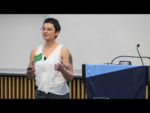
This research uses freshwater mussels as bioindicators to investigate water quality in Darby Creek. Community science data revealed links between elevated chloride pollution, likely from road salt, and declining mussel populations. The discovery of a healthy mussel population highlights both the importance of local monitoring and opportunities for targeted watershed restoration.
2026
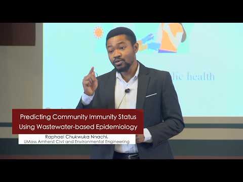
This research uses wastewater-based epidemiology to monitor antibodies excreted by communities, providing early insights into population vulnerability to infectious diseases. By analyzing antibody trends in wastewater over time, the work helps public health authorities identify at-risk communities, allocate resources more effectively, strengthen vaccination strategies, and improve outbreak preparedness.

2026
This research investigates phosphorus pollution in Lake Warner by comparing water movement and phosphorus transport through urban and forested landscapes. Forests naturally filter phosphorus due to slower water travel and greater infiltration, while urban runoff accelerates pollution. The study identifies how interventions such as rain gardens can reduce phosphorus loading into lakes.
2025
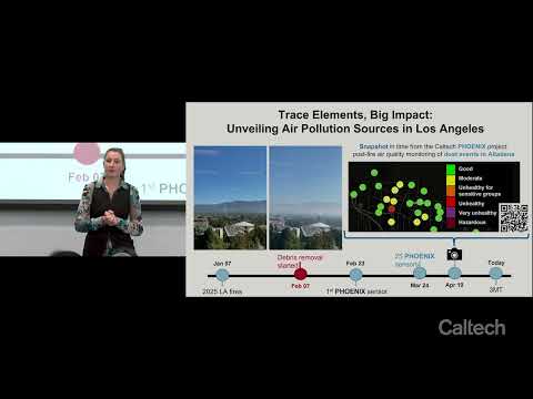
This research investigates atmospheric trace elements as indicators of pollution sources, focusing on toxic metal emissions from urban firestorms during the Eaton Canyon and Palisades fires. Elevated airborne lead concentrations prompted the creation of Phoenix, a community-based post-fire air monitoring network designed to track hazardous dust resuspension during debris cleanup.
2026
Road salt, widely used for winter safety, contaminates waterways and drinking supplies by increasing sodium and chloride levels. This year-long study of Pennsylvania watersheds found consistent exceedances of EPA guidelines, posing risks to human health and aquatic ecosystems. The research highlights the need to reduce salt use and adopt more sustainable deicing practices.
2026
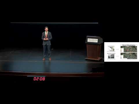
This research uses low-cost air quality sensors to monitor pollution exposure in underserved communities in Philadelphia. It reveals unexpected indoor and temporal pollution patterns and highlights disparities in exposure. By involving residents as citizen scientists, the study demonstrates how accessible data can inform policy and improve public health outcomes.