
This research improves flood prediction by analysing data from more than 3,000 rivers worldwide and using local fitting techniques to compare similar weather events. By relying on relevant historical data rather than human intuition, the model aims to produce more accurate flood forecasts and strengthen disaster preparedness under climate change.
2026
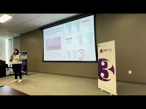
This research investigates tropical atmospheric waves that influence rainfall, storms, and seasonal weather patterns. Using satellite observations and machine learning, the study shows that wave propagation depends on geographic location, upper-level winds, and topography. The findings can improve weather forecasting models and help communities better prepare for extreme rainfall events.
2026
This research improves weather and climate forecasting by studying how dry air mixes into thunderstorm clouds, a process called entrainment. Using satellite observations, radar data, and interpretable machine learning, the work refines outdated cloud physics models, helping scientists better predict severe weather, hurricanes, and long-term climate behavior.
2026
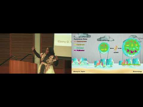
This research investigates whether small mangrove patches can effectively protect coastal areas from hurricanes. Using insect biodiversity and environmental DNA, it evaluates ecosystem functionality across patch sizes. The goal is to identify the minimum viable size for resilient mangrove systems, informing urban planning and improving coastal protection in space-limited environments.