
This research investigates how landslides disrupt New Zealand's road network. By analysing past landslides, linking landslide severity to road impacts, and combining these relationships with landslide forecasts, the project aims to predict future road closures, improve emergency planning, reduce community isolation, and enhance public safety during severe weather and earthquakes.
2023
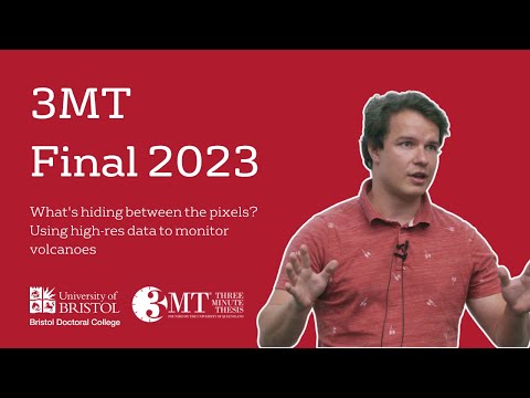
This research uses high-resolution satellite imagery to detect ground deformation at volcanoes, a key warning sign of impending eruptions. Low-resolution data often hides these signals, but fine-scale images reveal them clearly. Expanding high-resolution monitoring worldwide could allow earlier warnings, saving lives and reducing volcanic risk for millions.